Garfield Ledges
Aug. 13th, 2022 06:28 pmThis week's hike was a quick one and closer to home, because I had an appointment in the morning so couldn't set out until later. It was also the only overcast day of the week, which is what happens when you offer to work extra days to help cover for someone :-( So the pictures are less dramatic than the high mountains, and with mostly flat grey skies...
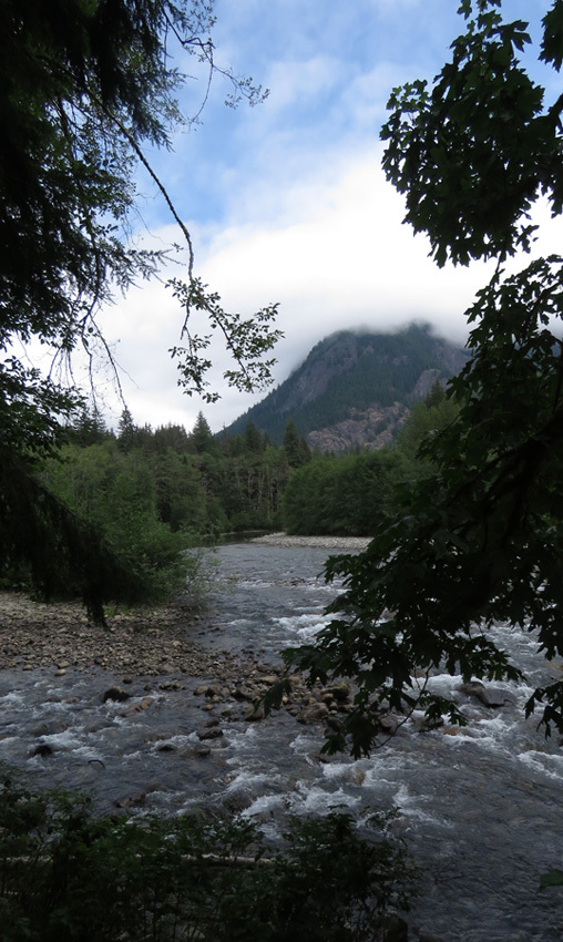
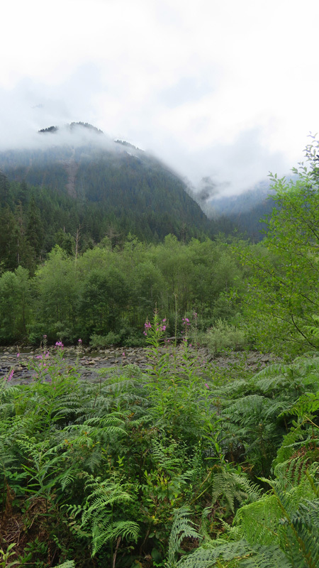
Garfield Ledges is on the middle fork of the Snoqualmie river. This is the river down by the trailhead.

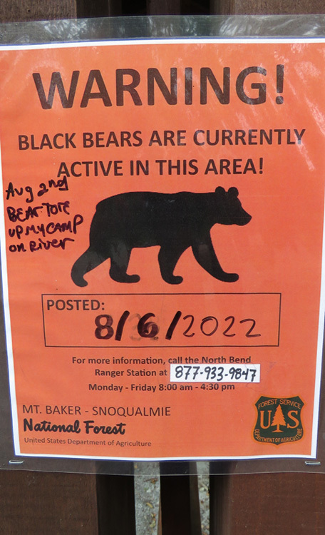
There were many warnings of recent bear activity in the area (it would almost be more surprising if there weren't bears, to be honest), including one hand-written addition of, "Bear tore up my camp."
The trail up through the forest, with stumps showing how the trees around here used to be bigger. This area was clearcut in the 1930s, so what we see now is almost 90 years of regrowth.

Fallen tree roots looking like a sculpture.

As the trail climbs, you get glimpses to the other side of the river valley.

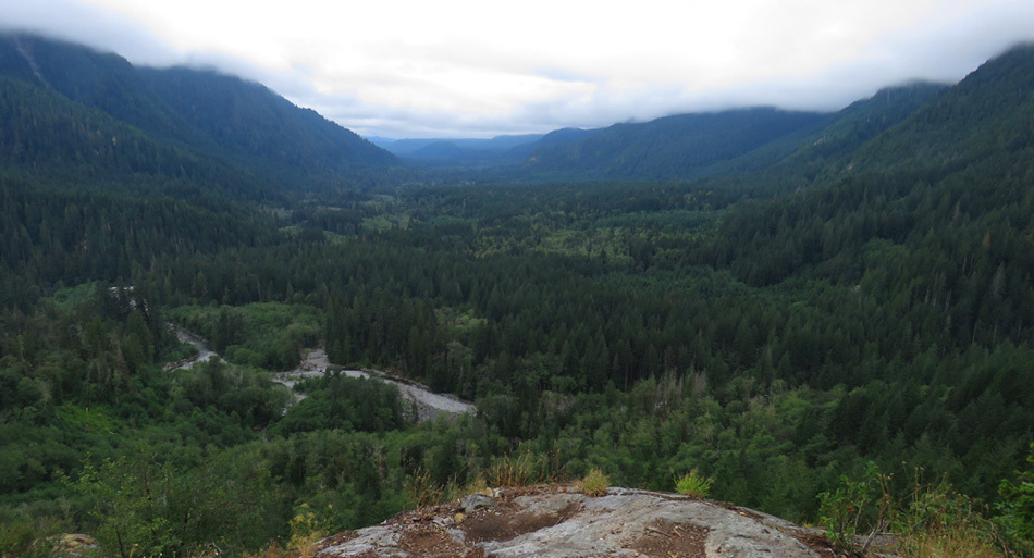
At the ledges, looking all along the river valley. It's only 1.1 miles up to the top, but you end up 850 feet above where you started.
Since the hike was so short, I also did the Camp Brown interpretive loop, adding another 0.6 miles. But that hardly counts, since it was all flat.
Approach to the river at Camp Brown. At this point there was a glimpse of blue sky, and the afternoon almost threatened to brighten, but that was just a tease.
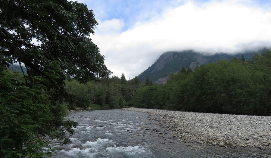
Looking back up the river to the hill I just climbed.
View across the river as the clouds close in again.
No extra work this coming week, so hopefully I can get in a more interesting hike again. Though I also have a diving day planned, so I'm going to be busy!
Garfield Ledges is on the middle fork of the Snoqualmie river. This is the river down by the trailhead.
There were many warnings of recent bear activity in the area (it would almost be more surprising if there weren't bears, to be honest), including one hand-written addition of, "Bear tore up my camp."
The trail up through the forest, with stumps showing how the trees around here used to be bigger. This area was clearcut in the 1930s, so what we see now is almost 90 years of regrowth.
Fallen tree roots looking like a sculpture.
As the trail climbs, you get glimpses to the other side of the river valley.
At the ledges, looking all along the river valley. It's only 1.1 miles up to the top, but you end up 850 feet above where you started.
Since the hike was so short, I also did the Camp Brown interpretive loop, adding another 0.6 miles. But that hardly counts, since it was all flat.
Approach to the river at Camp Brown. At this point there was a glimpse of blue sky, and the afternoon almost threatened to brighten, but that was just a tease.
Looking back up the river to the hill I just climbed.
View across the river as the clouds close in again.
No extra work this coming week, so hopefully I can get in a more interesting hike again. Though I also have a diving day planned, so I'm going to be busy!
no subject
Date: 2022-08-14 03:04 am (UTC)no subject
Date: 2022-08-14 04:48 am (UTC)no subject
Date: 2022-08-14 03:25 am (UTC)no subject
Date: 2022-08-14 04:51 am (UTC)